Launching June 2026 · Catalonia

Bring a map where adventure begins

ManaMar és el primer mapa submarí col·laboratiu construït per bussejadors, pescadors, científics i guies — des de la costa catalana.

~400
km of coast
2026
First map release
3
Available Coasts
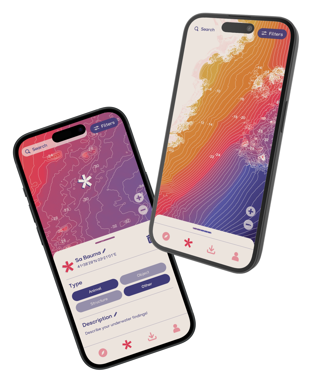
Manamar app preview
Become a part of the project

Your knowledge
belongs on
the map.

ManaMar is not mass crowdsourcing. It is a data layer built by people who truly know their coast — divers, fishermen, guides, and scientists who spend real time in the water.

Every point you contribute carries your name. Every zone you know will have a place on the map.

Summer 2026 Challenge

Every dive counts.
Every point gets logged.

This summer, take your phone every time you go underwater. Drop points, shoot photos, log what you know. The coast is your playing field — the map is the scoreboard.

1
Dive · explore
Open the app before you go in. Log every spot, depth, and species you know.
2
Take as many photos as you can (5 max per point)
Each photo earns +2 pts, up to 5 per point. Photos matter — but creation, type, and description count just as much.
3
Send everything in October
Submissions close 1st October. The top contributors go on the map — with their names attached forever.
How it works

Prepare your dive experience

From sign-up to your first dive spot — here's how ManaMar works.

01 · Get access
Create your account
Sign up with email or continue with Google, Facebook, or X. Your account keeps your spots and settings in sync.
Currently available map zones
Three zones available right now: Costa Brava, El Maresme, and Costa Daurada. Each covers a distinct stretch of the Catalan coast with full bathymetric detail.
02 · Explore the map
Download for offline use
Once you have access, download the zone to your device. Take the fully functional map underwater — no signal needed.
Navigate depth contours
Zoom from overview to close-detail. Depth levels are colour-coded — from snorkel zone to technical depth.
03 · Build your logbook
Drop a point of interest
Long-press anywhere on the map to create a spot. Add a name, depth, type, notes, and photos.
Organise with lists
Tag each point with premade tags such as Want to go or Visited, or create any custom list.
Filter by what matters
Show only the points you are looking for. Filter by type or by your own lists.
Measure & share
Calculate the exact distance to any point before you enter the water. Share individual spots or filtered sets with your crew via any messaging platform.

The water unites us.
Our paths are as varied
as the corals below.

Meet the team & the project

"Som enginyers electrònics, especialistes en robòtica, dissenyadors industrials i cartògrafs. Construït a Catalunya per un petit equip independent, ManaMar s'ha desenvolupat fora de l'horari laboral i completament amb els nostres propis recursos — moguts per la passió pel món submarí."